

Real-time ocean intelligence.
We replace legacy satellite approximations with direct, physical ocean-scale observations. Access ground-truth wave spectrum data to optimize commercial shipping routes and improve forecasting accuracy.
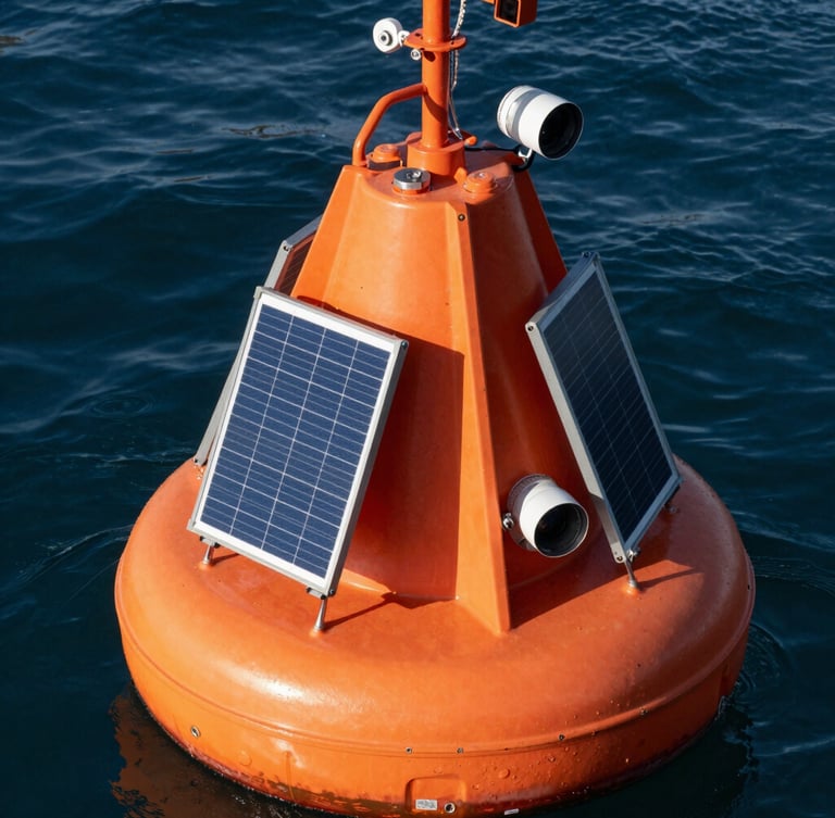
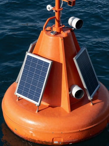
The Spotter buoy.
Our proprietary network of physical ocean sensors measures wave behavior directly from the surface, second by second, eliminating the massive data blind spots of the open ocean.
Rugged marine engineering.
Built to withstand the most hostile marine environments. Each unit operates autonomously on solar power, transmitting real-time wave spectrum, wind, temperature, and atmospheric pressure data via satellite.
Deployed globally across major shipping lanes to provide continuous, high-density physical measurements that legacy orbital models cannot replicate.
Voyage optimization.
Better routing is the natural result of having superior raw data. We translate physical ocean observations into actionable transit recommendations for commercial shipping fleets.
Ground-truth accuracy.
Dynamic optimization.
Vessel protection.
Replace orbital estimates with real-time wave spectrum data to predict weather hazards with unprecedented precision.
Adjust transit paths continuously based on live physical measurements to reduce fuel consumption and emissions.
Protect crew, cargo, and vessels from extreme weather events with high-resolution wave and wind data.
Access the grid.
Establish connection with our marine operations team to integrate real-time physical ocean intelligence into your fleet routing systems or climate research programs.